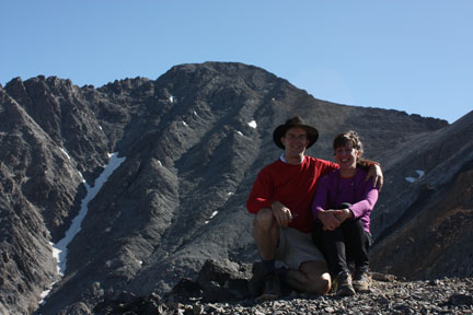
| Mount Borah 12,662 feet |
Visited 8/16/2010 |
Mount Borah rises steeply above the wide Lost River Valley. You can see it easily from scenic Highway 93. The trail to the top is a mere three and a half miles long, but it has an elevation gain of 5,200 feet.
We reached the trailhead just before 6:00am. In the dark of the morning, we saw a few other groups at their cars or tents making their final preparations. We threw on our daypacks, turned on our headlamps, and set off up the trail.
"Up" the trail is definitely the apt description. As soon as we passed through the fence that marked the beginning of the hike, the trail started steeply up one side of a narrow canyon. At the head of the canyon, we switched off our headlamps, removed a layer of clothing, and crossed to the other side. The trail got steeper as we ascended to the ridge above. We reached the crest of the ridge and followed it up to treeline ...as the trail got steeper still.
We stopped for rest, food, and water beside the last stunted trees at 10,400 feet. We'd hiked about a mile and a half and gained almost 3000 feet of elevation! From our vantage point we could see the summit ahead of us and the parking lot at the trailhead below us, about equally distant.
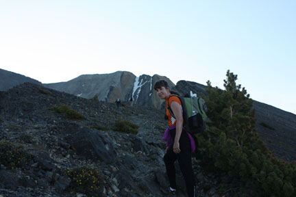
Leaving the trees behind
From this point we got a brief respite from the steepness as the trail contoured along the edge of the ridgeline. Soon enough, though, the ridgeline started climbing again, getting steeper with each step as it rose to the cap of jagged rock that you can see to the right of the snowfield in the photo above. A group of young boys — with their minature pinscher in tow! — caught up to us as we worked our way into rocks that we had to clamber over using our hands as well as our legs. Some of them were wearing gloves, which we coveted as we scraped our hands on the hard rocks.
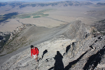
Mike on the trail along the ridge crest
This section of the climb is officially known as "chicken out ridge." The terrain is steep as always, the ridge narrows on both sides, and the clambering gets trickier. Your reward for making it over the ridge is that you get to climb down about 35 feet, cross a short snow bridge, and scramble for another half mile and 800 vertical feet to the summit. We started across the ridge, trying to follow in the footsteps of the boys. Halfway across, we lost our resolve as we thought about how we would have to cross back over this ridge on the way back. We decided to help the ridge earn its name. We turned back.
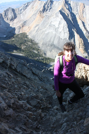
Evelyn steps carefully on "Chicken Out Ridge"
The trip down was more difficult in some ways than the trip up. On the steepest sections of the trail, we took tiny steps and still one of our feet would slip every few steps. Mike fell on his ass as he tried to improvise a switchback. Evelyn did a graceful little dance as she recovered her balance after one near slip. It felt like a great luxury when we reached a section of trail where we could take normal-sized steps.
We got back to the car at about 1:00pm. We traveled just over five and a half miles and climbed up (and down) 4,200 vertical feet to reach an elevation of 11,700 feet.
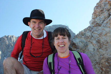
Perched in the middle of "Chicken Out Ridge" with the summit of Mount Borah behind us
