| Mount Marcy, New York 5,344 feet |
Climbed 9/02/2013 |
The weather forecast remained consistently discouraging as the day for our hike approached:
![]()
SCATTERED THUNDERSHOWERS IN THE MORNING...THEN INCREASING IN THE AFTERNOON...CHANCE OF SHOWERS 80%.
On the other hand, the forecast for the previous afternoon had been similar, and we spent it strolling through Lake Placid Village under clear blue skies, watching people paddle rented canoes across Mirror Lake. You know how mountain weather reports are. We decided to start early and see how far we got before the weather turned.
We reached the trailhead at 6:30 a.m. under cloudy skies, the ground still wet from overnight showers. The light was dim, but we didn't need our headlamps. The temperature was comfortably in the 50s. We planned to keep moving as efficiently as possible while the weather held, so the camera stayed in the backpack.
The first few miles of the trail undulated through the trees. We stepped carefully around numerous muddy patches and listened nervously as wind gusts filtered rain drops through the leaves of the trees above us. Very little water made it through to us.
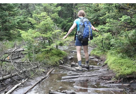
Navigating the boggy Van Hoevenberg Trail
We reached the first landmark – Marcy Dam, just over 2 miles in – in a little under an hour. We signed in at the backcountry register, drank some water, and moved on.
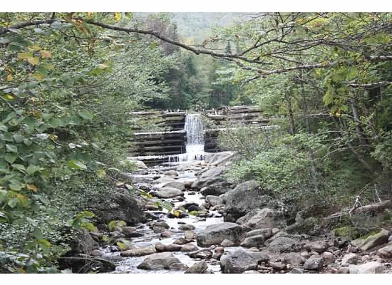
Marcy Creek flowing over the Marcy Dam
Not long after the dam, the trail started to climb more steeply. The rocks become larger and more plentiful. The trail was no less wet, however. Rather than a muddy swamp, the trail was a stream.
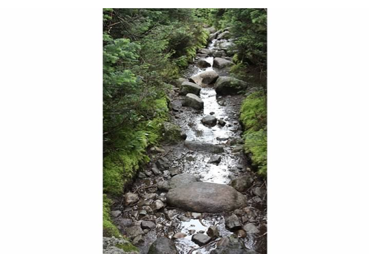
Not a trail beside a stream, the trail is the stream
We followed the blue markers that indicated the trail. We stopped once an hour to rest and replenish ourselves.
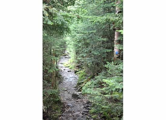
Can you confirm that we're still on the correct trail?
Still the weather held. The cloud cover kept the temperature comfortable. Staying true to our keep-moving policy, we hiked right past the short spur trail to the reputedly scenic Indian Falls, whose siren call has waylaid many travelers on their way to the summit. Steep boulder fields alternated with flat muddy sections. It stayed wet all the way to the top. We saw a frog on the trail at 5,000 feet!
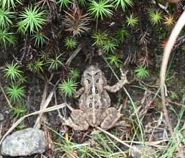
Look who we found jumping down the trail
At our three-hour rest stop we'd traveled over six of the 7.5 miles to the summit. The trees were getting shorter, and the clouds had raised enough that we could see some of the nearby mountains. No thunderheads yet.
We reached treeline about a half mile before the summit. From there, we had to scramble over boulders and huge rocks, following yellow stripes painted on the rocks. Evelyn grunted with the effort and thought, "Good gosh, What's this going to be like coming down?"
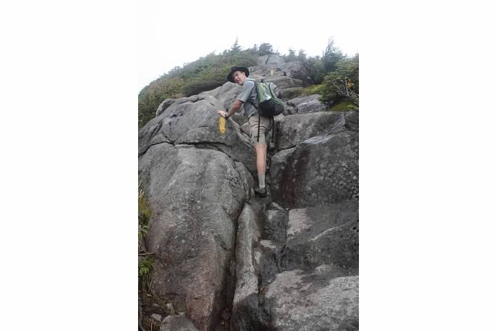
The final push to the summit
It was quite windy in the exposed areas as we approached the summit. We could see cairns and the summit through the blowing fog; it looked distressingly far away.
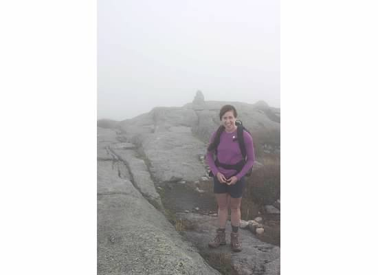
Are we there yet?
We covered the remaining distance fairly quickly, though, and arrived at the plaque mounted on the large stone that constitutes the summit.
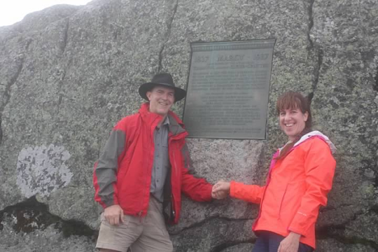
7.5 miles, 3200 foot elevation gain, four hours
From the summit, we could make out the nearby peak of Mount Haystack (?) for a few seconds at a time as the wind blew the clouds past us. We took photos and sat for a few minutes in the lee of the stone summit cap. As we packed up our gear to head back down, the clouds suddenly parted – or blew past – and we could see the mountains to the north and west. It stayed clear as we descended, with the clouds returning as we got down into the trees.
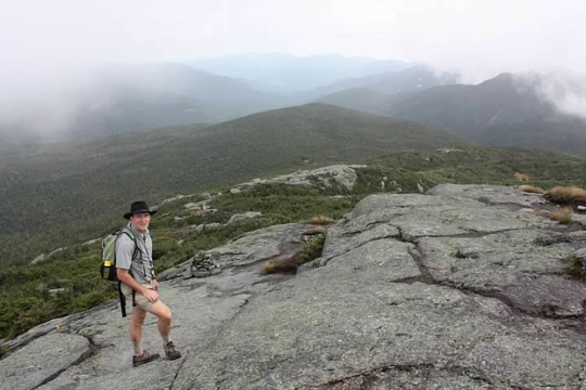
Awesome timing for the only clearing of the day!
Climbing down the boulder fields is in some ways harder than climbing up them. On the bigger rocks, Evelyn would squat down to a near sitting position, stretch out one leg, and let herself slide down the rock until she came to a lower rock or the ground below.
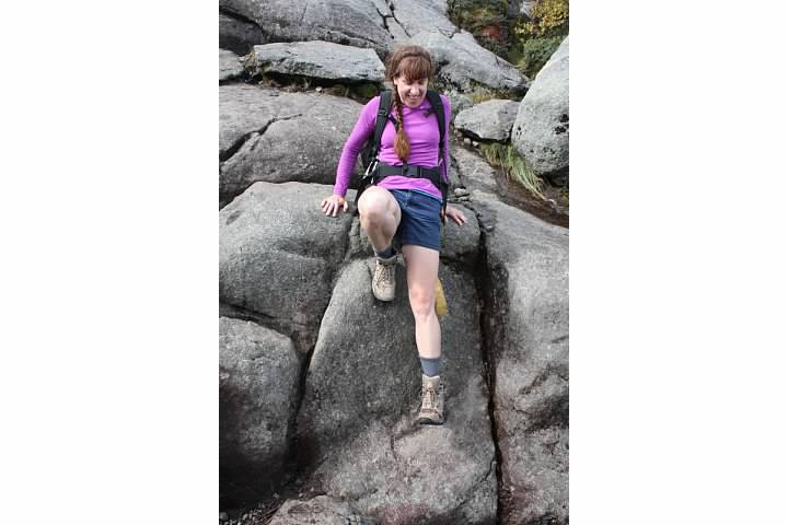
Evelyn working her way down
With the threat of thunderstorms seemingly behind us, we took our time on the return trip. We met several groups of people on their way up. We answered their questions about how far it was to the summit (farther than they'd hoped), and felt happy to be on our way back down. We took a nice long rest on the rock shelf at the top of Indian Falls, with the sun starting to peek out from behind the clouds.
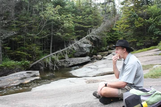
Above Indian Falls
Of course the last few miles felt endless as we trudged back through the swampy woods. Evelyn's feet felt like they'd been pounded by every rock we'd gone over, and she reacted very strongly when Mike told her we had one mile left to go.
We arrived back at the car just after 3:30 p.m. We stayed that night at the Adirondack Loj, which is located at the trailhead. We checked in, showered off the trail mud, then took our books down to the shore of Heart Lake. We sat in the dappled sunlight in a couple of Adirondack chairs, reading and watching the soft wind ripple across the water. A lovely, relaxing end to the day.
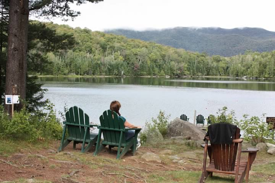
Relaxing, Adirondack style
When the chef rang the dinner bell, we joined the other guests for a family style dinner. About halfway through the meal, we heard a surprisingly sudden downpour start outside of the window, followed shortly by the boom of thunder. How nice for the promised thunderstorms to hold off until we were settled into our cozy mountain cabin!