| Black Mesa, Oklahoma 4,973 feet |
Climbed 09/30/2021 |
The hike up Black Mesa is eight and a half miles round trip, most of it flat desert terrain at the base and top of the mesa with a mile of uphill in the middle. No shade along the route, so we had to choose our climbing time carefully: the day we arrived in the area it was 90 degrees; the day after we summited (which was our originally planned time) had rain and scattered thundershowers. We hiked under partly cloudy skies at a comfortable temperature in the mid 60s.
Black Mesa is at the extreme Western end of the Oklahoma panhandle, just 1,299 feet from the New Mexico border. It is located in the only county in the United States that borders five states (Oklahoma, New Mexico, Texas, Colorado, and Kansas). Driving to it from the east, the grasslands gradually give way to volcanic badlands. Just before the town of Kenton, you turn north on a road labeled simply "Colorado -->". The nicely maintained trailhead has bathrooms, a bench commemorating the local director of the Highpointers Foundation, and a gate making it clear you're in the right place.
Starting on the trail
The trail is inordinately well marked. It is a jeep trail, the only one in the area, with frequent green arrows pointing the way and a bench at every mile marker.
The beginning of the uphill section, just after the Mile 2 bench
The view from the Mile 3 bench
The final mile along the top of the mesa is rather dull once you leave the views over the edge behind. Like the trail itself, the top is well marked.
The dry flattop of Black Mesa, our 50th and final(!) state highpoint
Elevation: 4,973 feet
Elevation gain: 775 feet
Hiking distance: 4.2 miles each way
The sun came out during our hike back, bringing out the color in the plants and rocks and spurring the grasshoppers into action. It was a pleasant late afternoon, grazing time for the local sheep.
Grass for the grasshoppers and sheep
Congratulations to us for completing all of the highpoints!

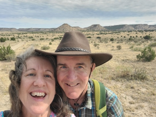
Mike and Evelyn, happy to be done