| Mount Davis, Pennsylvania 3,213 feet |
Climbed 10/16/2014 |
The main challenge in ascending Mount Davis is navigating the forest roads that lead to it. It is located a few miles north of the Maryland border, in the forest tucked behind small Amish family farms. Each highpointing book described a different route, and the gravel roads are not well marked.
The first route we tried ended at "Road Closed" sign and a clutch of road-working equipment. We navigated back to the paved road and tried another way. Thankfully, this one got us past the closure and up to the "summit."

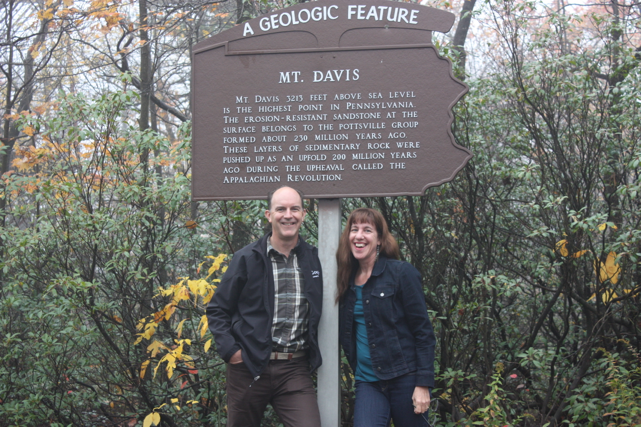
The top of Pennsylvania
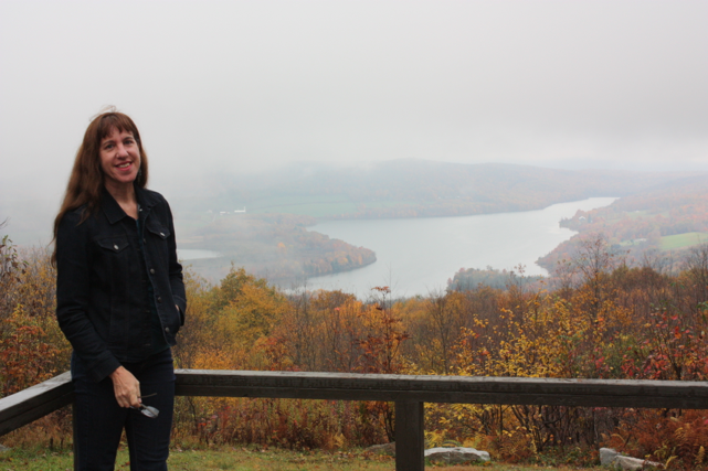
To quote a plaque near the base of the observation tower: "The point is not a prominent pinnacle, but the tip of a rock extending a few inches above the others on this rock-strewn, nearly level, plateau." A few inches! So there's not much of a view, even if it weren't foggy like it was when we were there. But here's a shot from a nearby scenic overlook to prove that we're really in the Allegheny Mountains:

Overlooking High Point Lake
After our surgical strike into Pennsylvania, we returned to Maryland and spent a lovely afternoon and evening in Cumberland, riding bikes along the Great Allegheny Passage trail and the Chesapeake & Ohio Canal.