| Brasstown Bald, Georgia 4,784 feet |
Climbed 4/20/2003 |
We drove from the Atlanta airport up into the mountains of north Georgia. The highway up to Blairsville gave us late afternoon views of Tennessee between the blooming dogwoods and azaleas. The weather was pleasantly cool at the scenic overlooks.
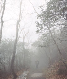
By morning a fog had descended. It got thicker as we headed up the road toward Brasstown Bald. We were the only car in the parking lot other than the van that drives people the final half-mile to the summit for $4.00. We walked up the moderately steep paved trail.

Mike hikes up in the fog
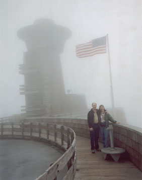
The visitor center covers the entire area around the summit. To see the official USGS elevation marker, you have to ask the ranger to unlock a door at the base of the summit tower. We are told that you can see four states from the observation platform (Georgia, Tennessee, North and South Carolina), but we could see no farther than the trees on the other side of the road.

Huddling at the high point
The displays in the visitor center are quite elaborate. In addition to the usual dioramas of native wildlife and films about natural resources, they had an animatronic Ranger Woody who told us about the history of the area.
From Brasstown Bald we drove east, occasionally crossing into North Carolina, on our way to Sassafras Mountain, the highest point in South Carolina. We stopped along the way to buy boiled peanuts from a roadside vendor. It was a relaxing drive that gave us a feel for the area, but we started getting tired about an hour before we arrived in South Carolina.